
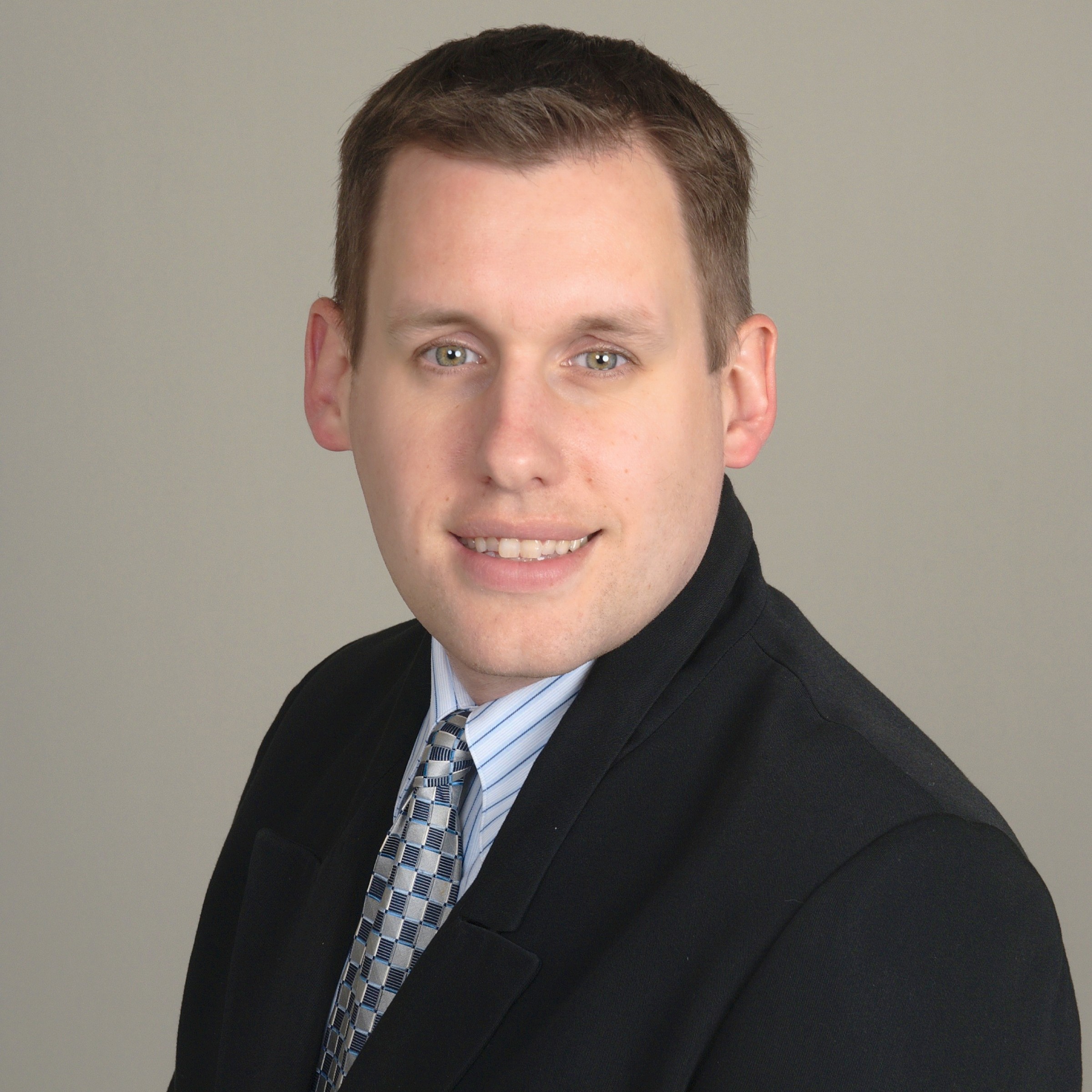
Matthew Rodgers
Senior GIS Specialist
SPECIALTIES
Geographic Information Systems Analysis; Cartography/Mapping Support; Storm Surge / Flood Inundation Analysis; Spatial analysis and investigation; Spatial Data Research, Management, Manipulation, and Quality Control; Digital Elevation Model Sourcing, Editing, Analysis, and Mapping; Business Interruption Research; Aerial / Satellite Imagery Acquisition, Analysis, and Interpretation; Database Design, Management, and Implementation; Georeferencing and Digitization of Offline Spatial Data; Process Automation, Scripting, and Programming; Multiple Address Geocoding and Reporting; GPS Support; Map Production and Editing; 3D Modelling and Visualization; Web-based GIS Development; Cause and Origin Damage; Hurricane Storm Surge; Wind vs. Storm Surge / Wave Damage; FEMA Flood Zone Determinations and Mapping; Earthquake Monitoring and Mapping
Biography
Matthew Rodgers has about 20 years of experience providing Geographic Information Systems (GIS) services to clients in engineering, government, and academic research. He has used GIS to analyze, interpret and present spatial data in a wide range of applications, including flood risk, damage causation, demographic profiles, disease prevalence and cartographic visualization. Matthew’s expertise includes spatial investigation and analysis of natural disaster–related events including flooding, hurricanes, hail, and tornadoes. He utilizes a wide variety of nationwide data sources, including from governmental organizations and private firms, to develop maps for cause and origin assessments as well as flood zone determinations. Reporting is enhanced using updated orthographic and oblique aerial photography, as well as historical imagery, to represent the vicinity around a project location close to the date of loss.
Prior to joining Halliwell, Matthew provided mapping services at the SC Department of Transportation. At SC DOT, he developed a process to convert road closure data from an internal system into a format available for public dissemination during disasters in 2015 and 2016. While at USC, he automated processing of large spatial datasets for public health research.